

ROBOTICS / SLAM / NAVIGATION
ROS Bot Navigation & SLAM
A robotics system for new-environment mapping and intelligent navigation using camera, LiDAR, and ROS
MISSION / UNKNOWN SPACE
A robot earns trust by understanding space, not by moving through it
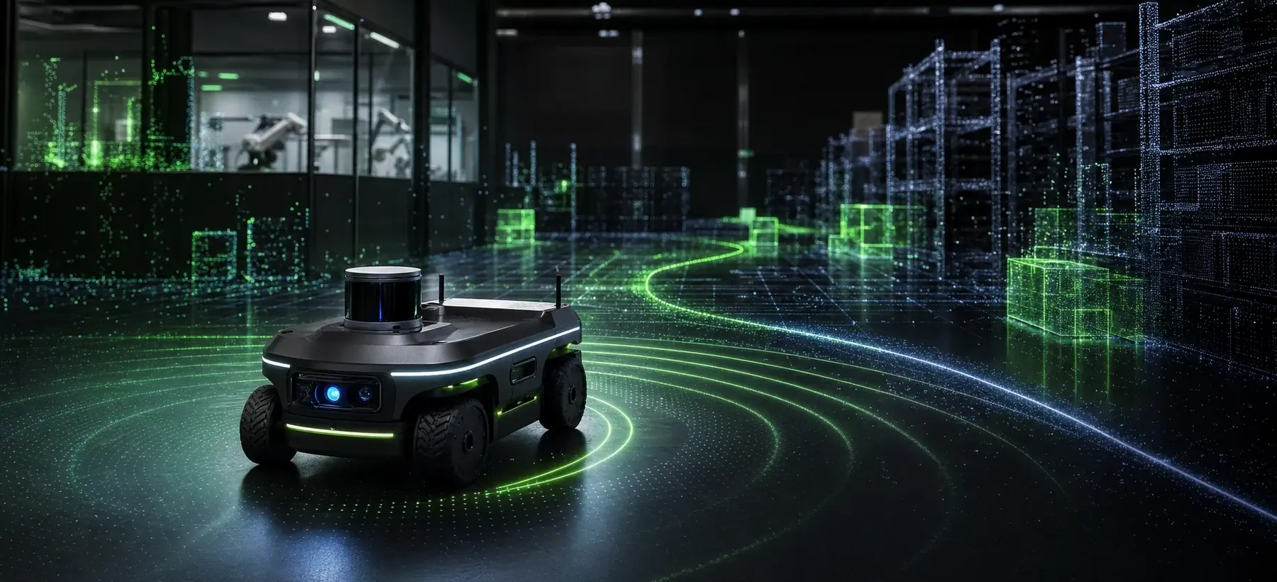
The ROS Bot case focused on operational autonomy: the robot had to perceive an unknown space, localize itself, build a map, and move with minimal human intervention. Combining camera and LiDAR reduced single-sensor dependency and prepared the system for intelligent environmental monitoring
ROSSLAMLiDARCamera FusionRoboticsNavigation
01 sensor_fusion.launch
02 lidar_scan → map
03 localization: stable
04 route: replanning
05 autonomy: ready
LiDAR field and robot route
The still image is a raw map; the motion image shows localization, mapping, and route planning together
Sensor fusion
LiDAR and camera paths aligned for steadier navigation in unknown spaces
Map generation
New-environment mapping and data preparation for intelligent monitoring
Autonomous behavior
Movement planning with low intervention and real-world error control in focus
Hybrid navigation for a robot that has to read the world by itself
 Next mission · 06
Telephone Speaker Recognition
↗
Next mission · 06
Telephone Speaker Recognition
↗